Mariton: For the Love of Maps
by Tim Burris, Preserve Manager
I hope you have been following the Crow’s Nest Field Notes on their summer camps. This year their focus was on maps and map reading. I think this is critical.
Over the years of greeting visitors at Mariton, I have definitely seen that map reading skills have diminished. I estimate that only about 20% of people under 40 years old can now read a map accurately. (Twenty five years ago, it was probably only 20% that couldn’t read a map.) My estimate seems to be backed up by incident reports from groups like the Adirondack Mountain Club and others. The advancements in electronic technology are awesome and mind boggling, but can also be blamed for the inability of people to understand maps.
I recently crossed paths with a hiker at Mariton. The young man was studying the map at the kiosk and I offered him a paper map. As we talked, I realized immediately that he could read a map. I joked that it was rare for someone his age to be able to read a map so well. He quipped he had the military to thank for his skill, but that he loved maps and never ventured anywhere without at least one compass.
During the same week, I was working in the woods and crossed paths with a group (four adults and 5 children) who were definitely disoriented. Three of the adults were looking at a map on the phone and pointing in completely different directions. The adults were so engrossed in their phone that they would have walked by me, if I hadn’t offered to help direct them. Even though they could see their location on the phone, and there was a trail marker where we stood, they still were not sure where they were and which direction would lead them back to the parking lot. I directed them to the trail marker across the field and watched to make sure they turned the right way and followed the trail. The adults were still staring at their phone. Fortunately, the kids were having a great hike and seeing everything the adults were missing.
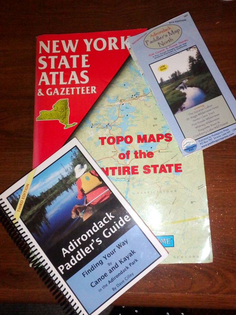
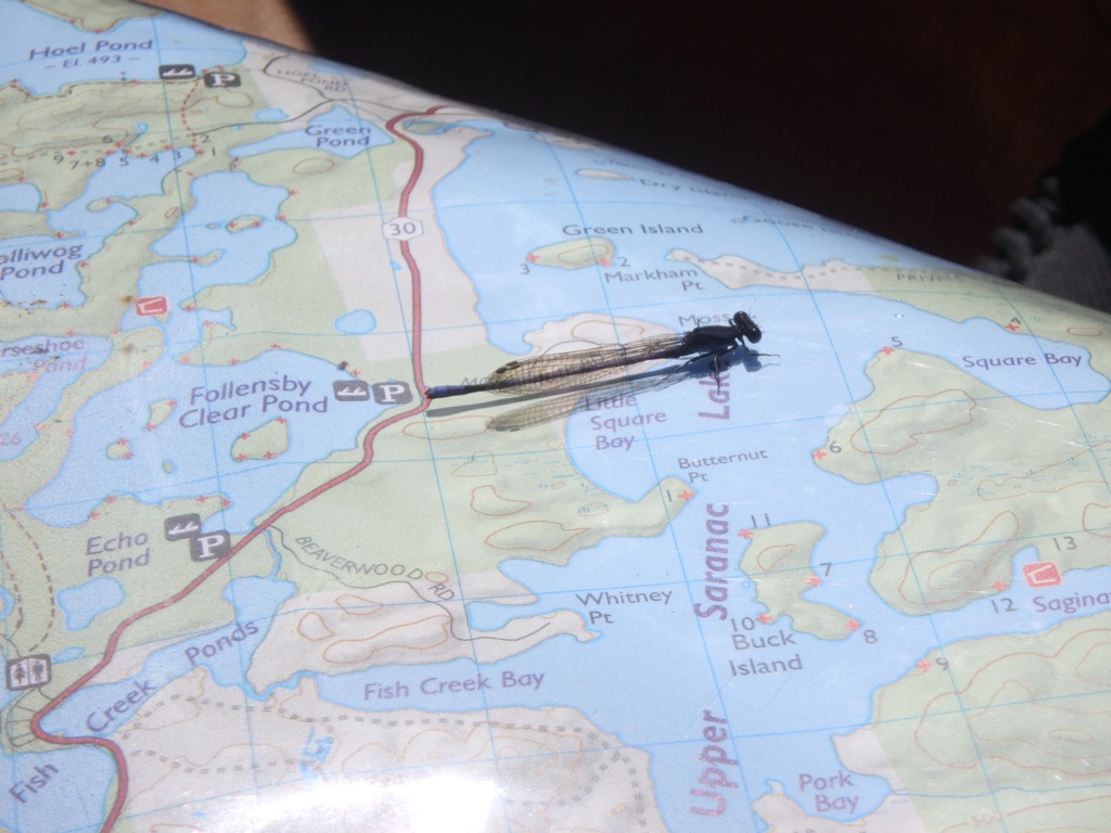
Some of the maps I studied before, during, and after a recent vacation.
I love maps. I totally understand the lure of technology, and rely on it when driving in unfamiliar areas (but after I have studied the map). Maps are great resources. Learning to read maps is like learning a new language (but a lot easier). It literally opens up the whole world to someone. During the winter, I study maps of places I want to venture in the coming year. I review my maps when I return from an adventure to see what I might have missed. I’ll even pull out maps of places I’ll never visit, just so I can mentally explore them. We are so fortunate today that most of the world is charted. Think of explorers like Lewis and Clark, Jim Bridger, Kit Carson and others who risked life and limb when they ventured into undocumented territory to find those paths for us. In some ways it behooves us to pay homage to their courage by sitting down with a map and studying it.
Megan Boatright, one of the great map makers at Natural Lands.
At Natural Lands we have great map makers. They spend hours in the field gathering data and more hours in front of computers making sure that our preserve maps are as accurate as possible. Still, an accurate map is useless if it is a foreign language. If your map reading skills need improvement, resolve to learn the language of map reading. (You can even look up “how to read a map” on your phone.)