Crow’s Nest: Are we there yet?
By Daniel Barringer, Preserve Manager. Photos by Daniel Barringer and Steve Eisenhauer.
This year’s theme at camp is maps. We’re reading them and making them and using all different kinds of them. We want kids to know where they are and to develop the spacial skills to place themselves in the landscape, not just at Crow’s Nest but anywhere they go. It’s not enough to type in an address and be told where to turn!
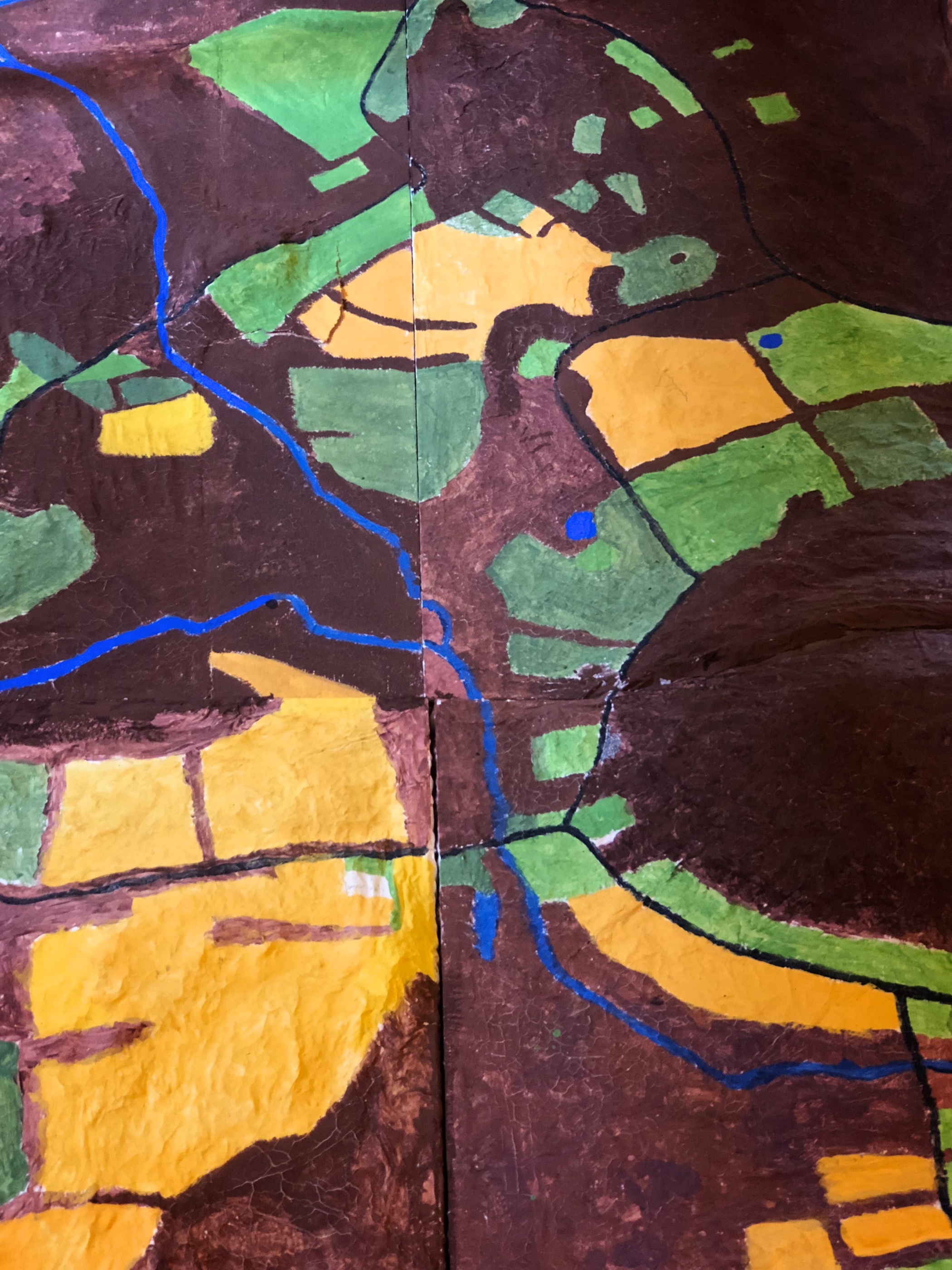
Above is a paper mâché map of the valley where Crow’s Nest lies that the kids have been painting. The forest is brown because that is the forest floor… they will add trees soon. Farm fields are yellow, the color of them right after the hay is cut, or when the wheat is mature. Streams are painted blue, though we noted that they don’t look that way in reality; some mapmaking conventions are necessary. The green is turf grass (around buildings) and meadows.
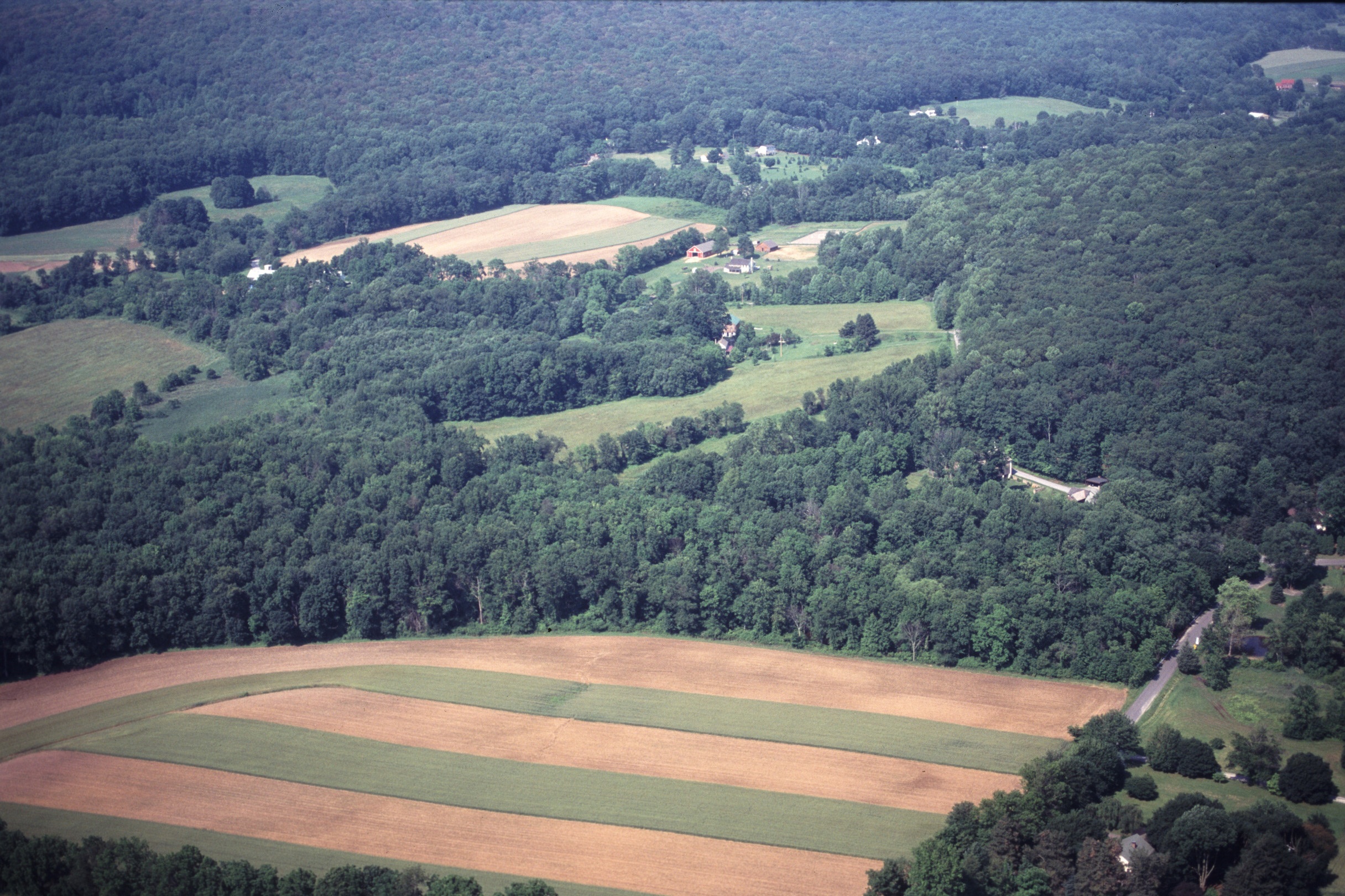
Compare the map with this aerial photo Steve Eisenhauer took for us some years ago. In the map above the Chief’s Grove is in the upper right, below it is in the upper left. We all seem to enjoy poring over maps to see where we’ve been.