
Presentations at the Pennsylvania Land Trust Alliance Conference
Over the last few days several staff from Natural Lands Trust have been giving presentations at the Pennsylvania Land Trust Alliance (PALTA) Conference held at the Pocono Manor Inn.
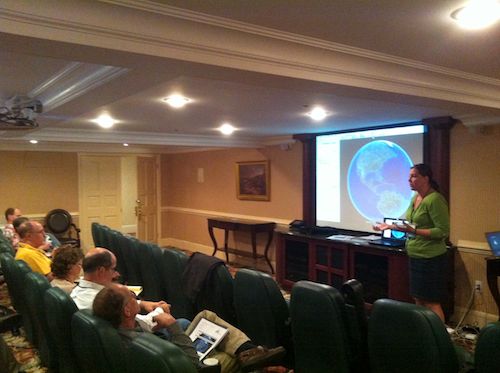
On Saturday Megan Boatright and I gave a presentation, “There’s an App for That!” which refers to using technology as a tool to monitor conservation easements. Megan is one of our Geographic Information System professionals and she shared how to use Google Earth (TM) to map and present information about conservation lands and municipalities, as well as how she uses this information on her smartphone when she is in the field.
I traded in carrying a separate clipboard, GPS unit, and camera a couple years ago in favor of simply a smartphone that meets our needs for documenting conservation easements. I shared the methods I use for gathering and uploading information: exporting parcel boundary data from Google Earth to have it show up on the iPhone (TM), taking geotagged photos and then mapping their locations on a Google Earth image on the computer. I can be more confident of locating boundaries with a device that simultaneously displays the conservation properties’ boundaries, my current location, and a background that is an aerial photograph of the land. The apps that make this possible are either free or only a few dollars each, and I was going to be carrying the phone with me anyway.
Posted by Daniel Barringer on May 7, 2012.