
Crow’s Nest: A map as virtual reality
By Daniel Barringer, Preserve Manager.
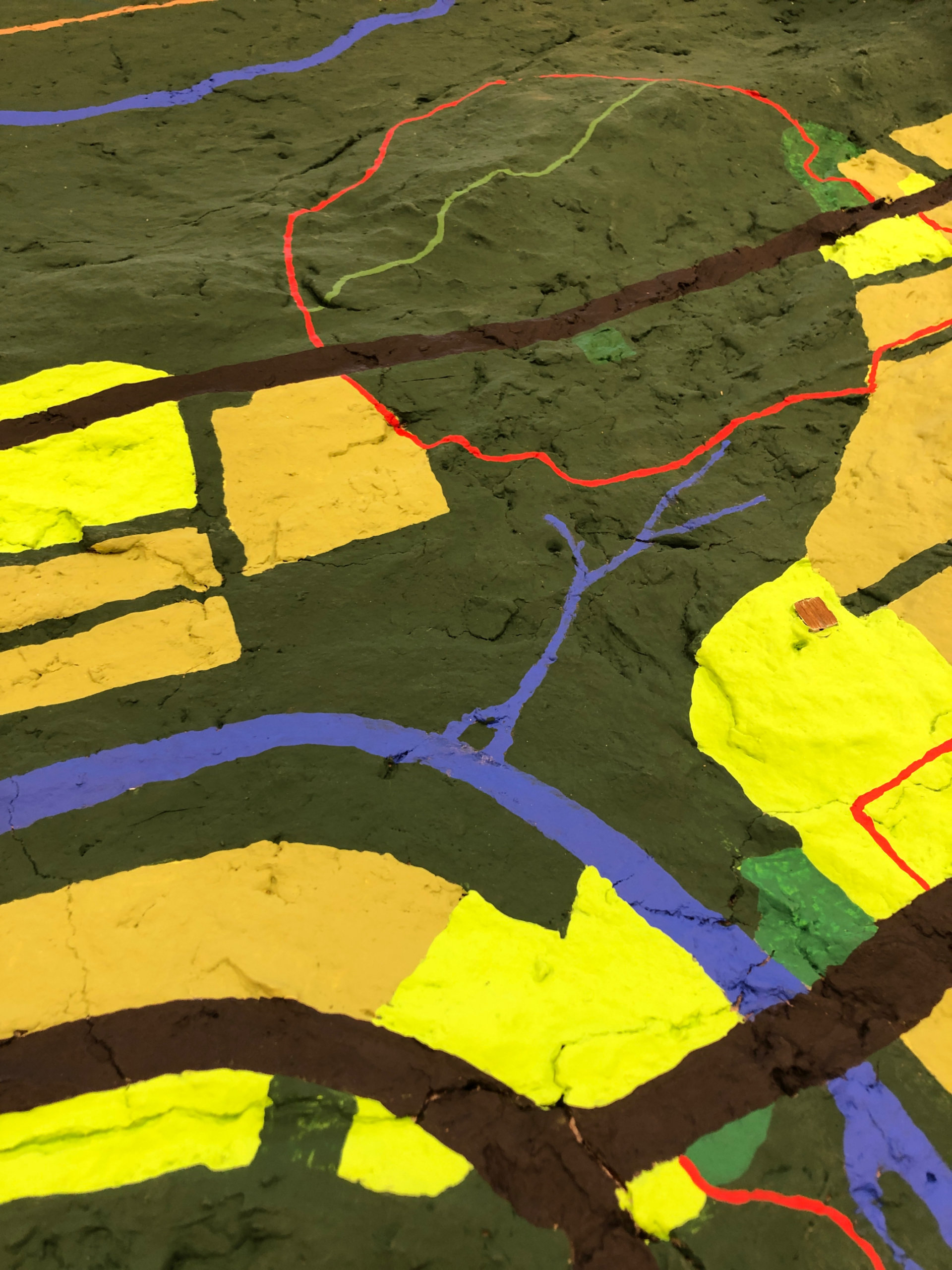
We have a map that camp kids made at the first year of summer camp, 1998. It’s a three-dimensional representation of the preserve and takes up a whole tabletop in the visitor center. It’s purpose is to help people visualize the lands that they are about to hike or have just hiked. There’s the visitor center barn and parking lot along with the yellow Creek Trail below.
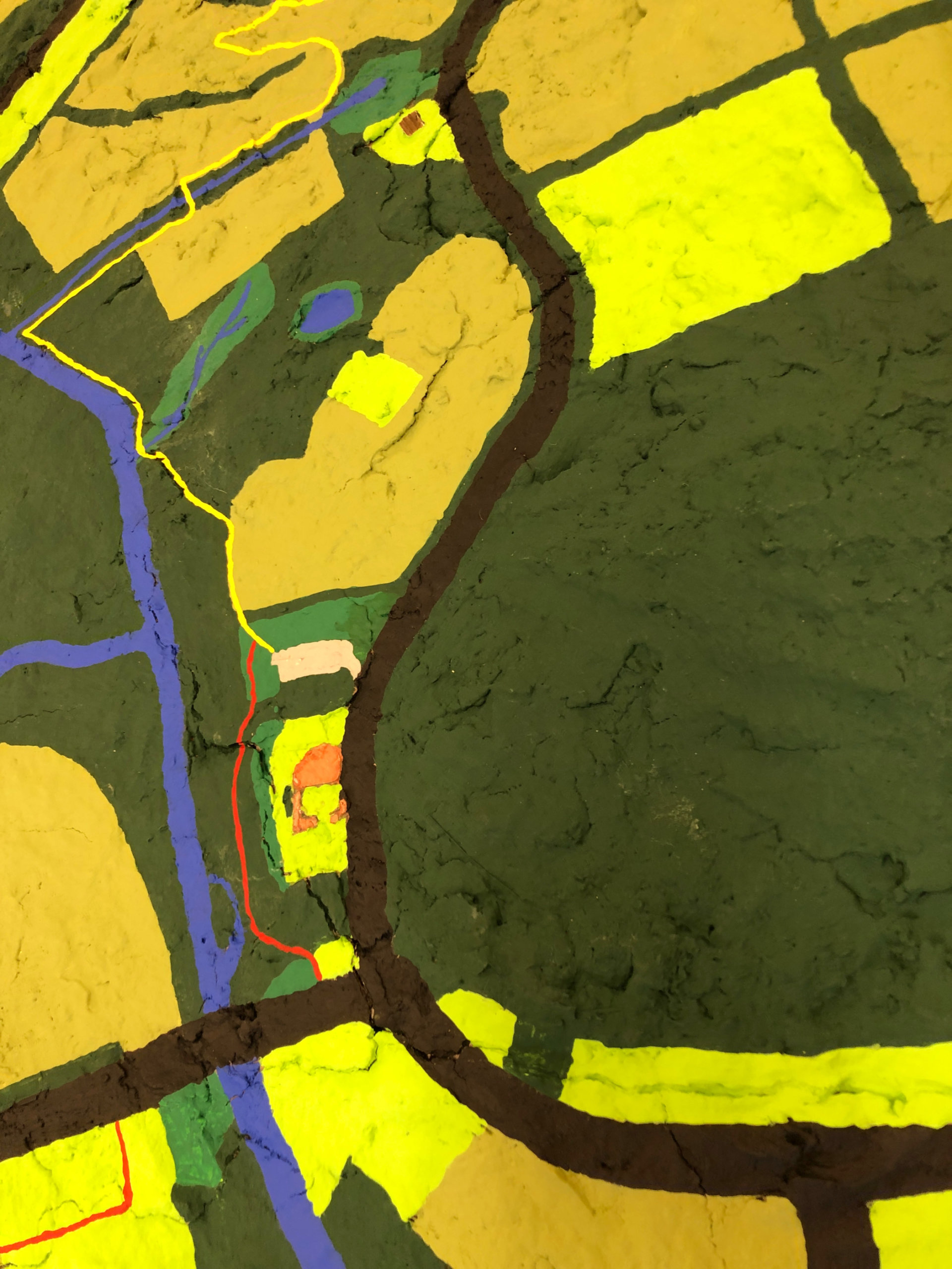
This map has undergone repainting at least twice, and most recently Molly Smyrl added the trails with painstaking paint pinstriping. Yet to be added back to the maps are street names and place labels. Below, the Deep Woods Trail in red and the Fox Hill Trail (a shortcut that stays on the ridge line) in green. Mine Run is the creek at the bottom and French Creek in the upper right passing by the visitor center.
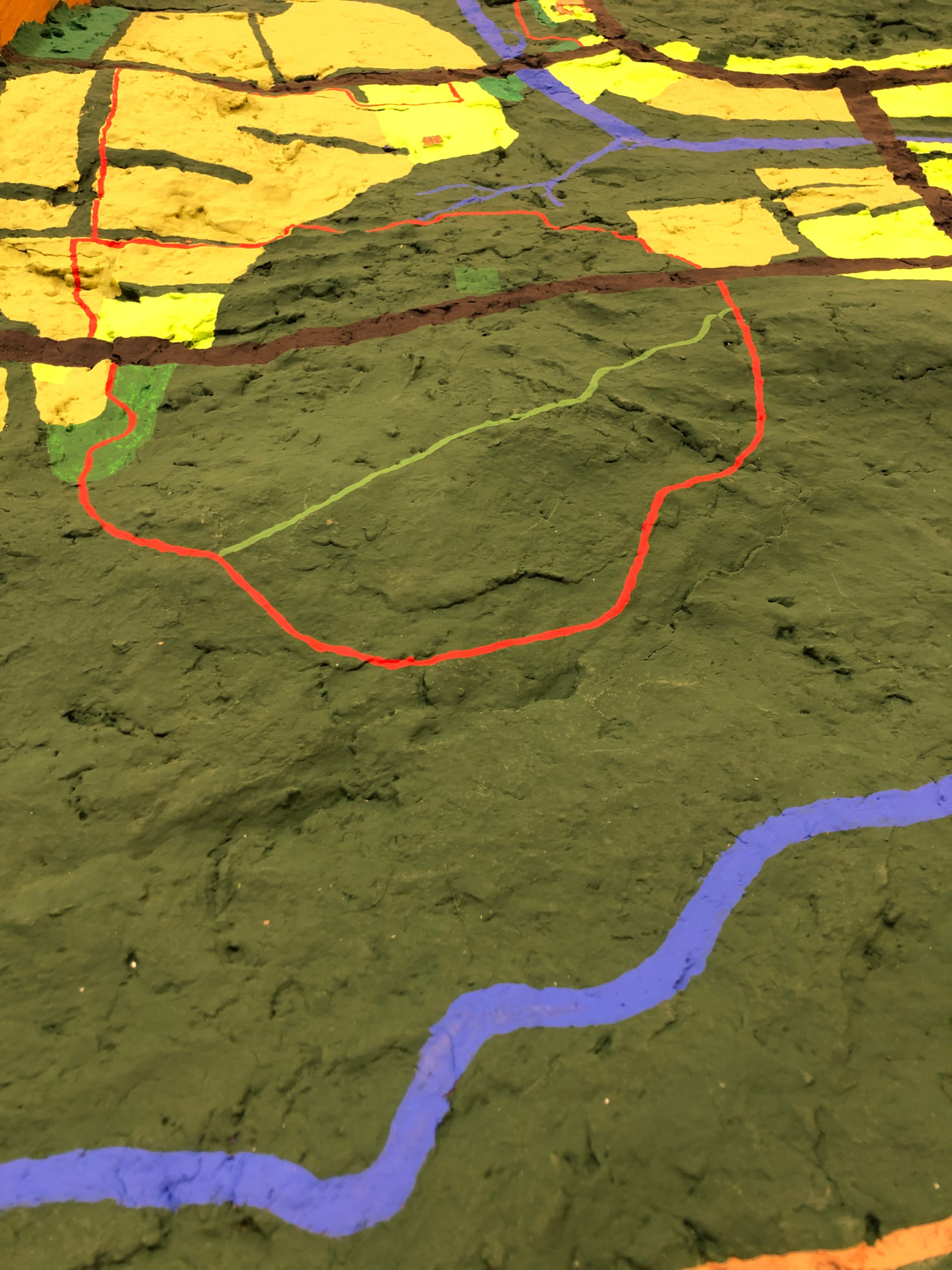
The map is color coded: Forest is dark green, meadows in medium green, farm fields in tan, and the yards around buildings in chartreuse. Bodies of water are blue, roads are black.
There was a time before the trails were painted on that we had camp kids lay out the hikes they had just done with yarn or cooked spaghetti. Now I think we can just trace the trails visually. It certainly helps you see the lay of the land, since the preserve is too big and too hilly to see all at once.