
eagle’s-eye view.
It’s always been Natural Lands’ practice to visit annually each and every one of the 447 properties under conservation easement with our organization to ensure the specifications of each easement are being upheld. When the COVID-19 pandemic hit our region, however, in-person monitoring visits were no longer an option. As often is the case, this problem was also an opportunity—in this case, to incorporate remote monitoring of conservation easements via satellite imagery.
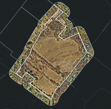
Example of NearMap imagery within the UpStream Tech Lens product
“Thanks to advances in technology, aerial and satellite photos have come a long way,” said Erin McCormick, director of the conservation easement program. “Our staff can review multiple high-resolution images for a property and determine whether or not follow-up with the landowner is needed. And it’s important to note this practice is endorsed by the Land Trust Alliance, a national organization by which Natural Lands is accredited.”
This new process will cut dramatically time spent walking acres of eased properties, and the time and costs associated with traveling to properties in the three states and 18 counties that we monitor. In 2019, 21 staff members spent a total 714 hours on in-person monitoring visits. We anticipate aerial monitoring will require significantly less time.
To help maintain relationships with our easement landowners and to address issues that aren’t visible from imagery, our staff will conduct in-person visits at least once every three years.